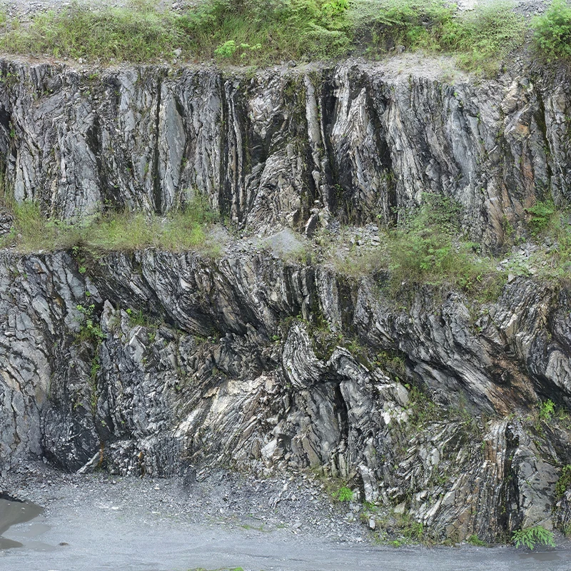
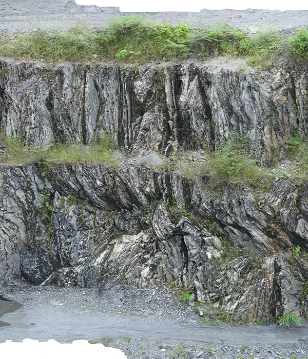
Lidar and aerial photography significantly enhance the efficiency and safety of operations in mines and quarries by:
Inventory and Stockpile Management:Precise volume calculations for material stockpiles.
Monitoring and Planning:Continuous mine/quarry operation assessment and future operation planning.
Pre-Drilling/Blasting Assessments:Accurate terrain and structure evaluations to guide safe drilling or blasting.
Road and Slope Monitoring: Ensuring road safety and stability of mine slopes.
Hazard Identification:Early detection of risks to mitigate potential accidents.
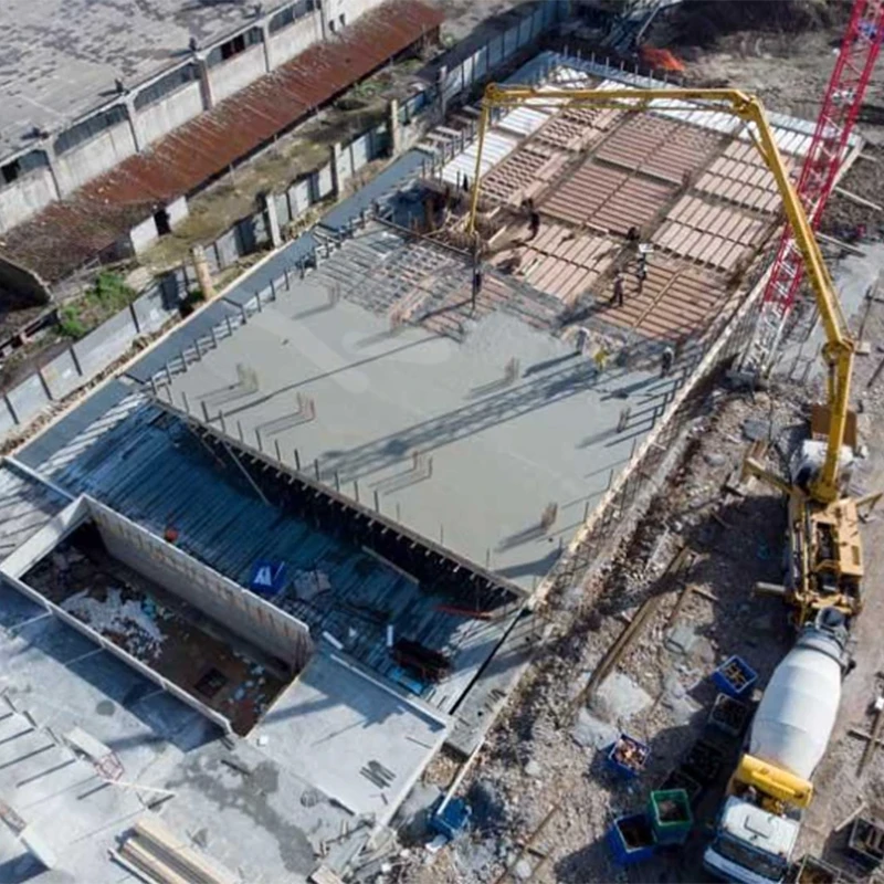
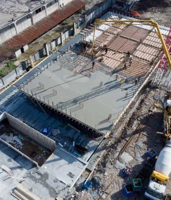
Drones equipped with Lidar and cameras provide significant advantages for construction projects by:
Volume Measurements: Efficiently calculating material quantities.
3D Site Models: Creating detailed 3D representations of construction sites.
Progress Tracking: Monitoring construction progress in real-time.
Site and Building Inspection: Conducting thorough inspections of structures and construction sites.
Environmental Monitoring: Assessing environmental impacts and compliance.
High-Resolution Monitoring: Providing detailed visual records.
Real-Time Site Inspection: On-demand inspection for faster decision-making.
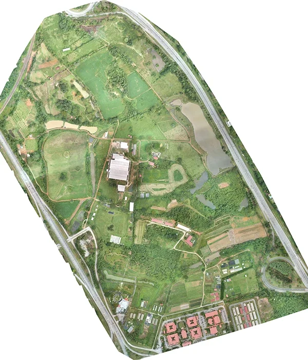
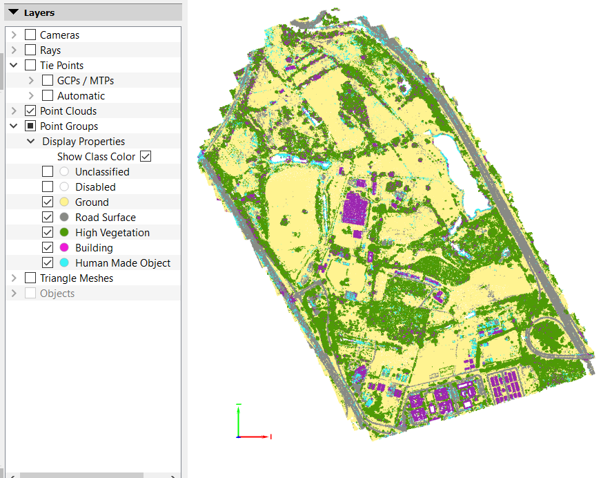
Applications of aerial mapping with Lidar and orthophoto imagery include:
Geological and Terrain Mapping: Documenting geological formations and engineering geology.
Topographical and Geomorphological Analysis: Understanding surface features for planning and design.
Asset and Infrastructure Mapping: Monitoring existing infrastructure and assets.
Road and Buffer Zone Planning: Ensuring proper zoning and road design.
Geohazard Assessment: </b?Identifying hazards for forensic studies and risk mitigation.
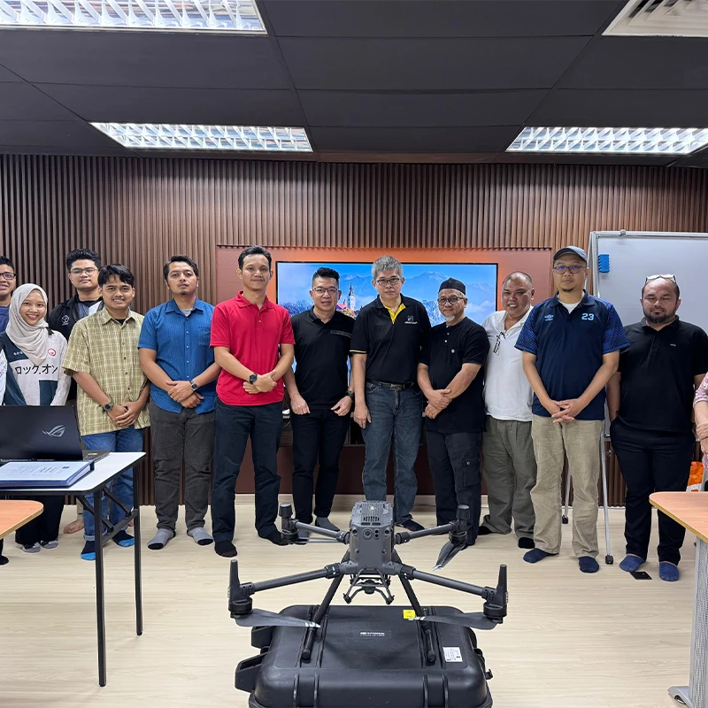
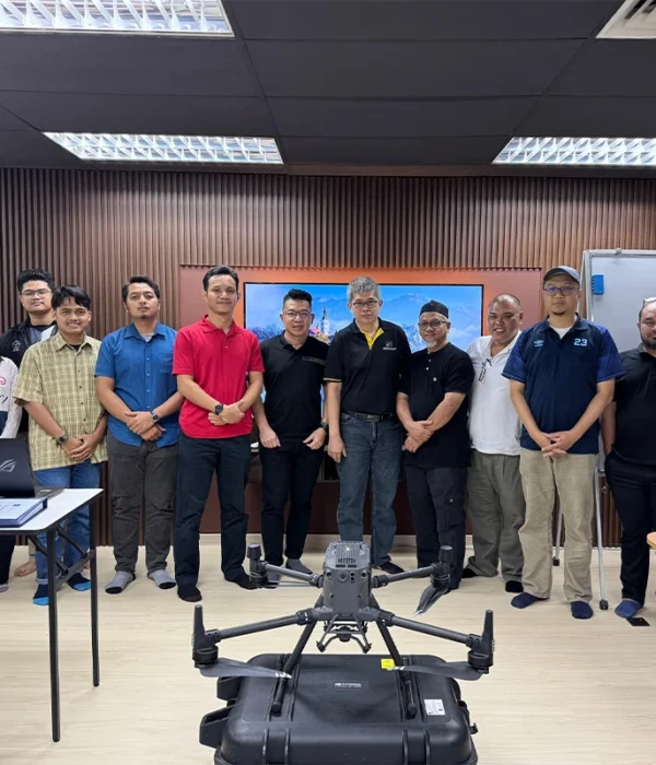
Providing training for drone pilots to ensure optimal use of drones and data collection technologies.
Data Conversion
Point Cloud Conversion: Transforming Lidar/orthophoto data into DEM (Digital Elevation Model), DSM (Digital Surface Model), DTM (Digital Terrain Model), and contour lines.
Aerial Photos to Digital Maps: Processing aerial images into accurate geographical and terrain maps.
Digital Geological Mapping: Digitizing hardcopy geological maps for integration into modern workflows.
Georeferenced Image Creation: Combining aerial photographs into georeferenced datasets for analysis.
Suppose you want to learn more about our services and associated costs. We kindly provide you with a detailed quotation, pricing, delivery terms, and other relevant information.
Let’s talk
[0] 132 456 456
Mail
kyberdummy@gmail.com
It is a long established fact that a reader will be distracted by the readable content of a page when looking at its layout.
There are many variations of passages of Lorem Ipsum available, but the majority have suffered alteration. We have a long and proud history givin emphasis.