About Us

We are a mapping services company leveraging UAV (drone) technology to provide exceptional solutions across industries, including industrial projects, urban planning, environmental monitoring, mining, and construction.
At Geodrone, our advanced equipment and certified drone pilots deliver high-resolution aerial images and LiDAR point clouds, ensuring the highest level of data accuracy. Through precise processing, we create orthophotos – georeferenced 2D or 3D high-resolution images aligned to specific coordinate systems. These versatile images are ideal for in-depth analysis and precise measurements, unlocking endless possibilities for your projects.
Our LiDAR technology further enhances our capabilities by generating detailed Digital Terrain Models (DTM) and delivering highly accurate topographic data tailored to your specific needs.
Our team of UAV professionals combines technical expertise with innovative technology to deliver a range of high-quality solutions, including:
  • Orthorectified/Ortho-mosaic Imagery: High-resolution, georeferenced aerial images.
  • High-Quality Still Images and Videos: Stunning visuals for documentation and presentation.
  • Digital Terrain Models (DTM), Digital Surface Models (DSM), and Contour Lines: Comprehensive topographic insights.
  • Point Cloud Data from Orthophoto or LiDAR: Accurate and detailed spatial data for advanced analysis.

Our team of UAV professionals combines technical expertise with innovative technology to deliver a range of high-quality solutions, including:

  • Orthorectified/Ortho-mosaic Imagery: High-resolution, georeferenced aerial images.
  • High-Quality Still Images and Videos: Stunning visuals for documentation and presentation.
  • Digital Terrain Models (DTM), Digital Surface Models (DSM), and Contour Lines: Comprehensive topographic insights.
  • Point Cloud Data from Orthophoto or LiDAR: Accurate and detailed spatial data for advanced analysis.
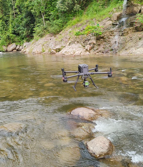
With a commitment to precision, efficiency, and innovation, we empower our clients to make informed decisions, optimize workflows, and achieve outstanding project outcomes. Let Geodrone be your trusted partner in transforming data into actionable insights.