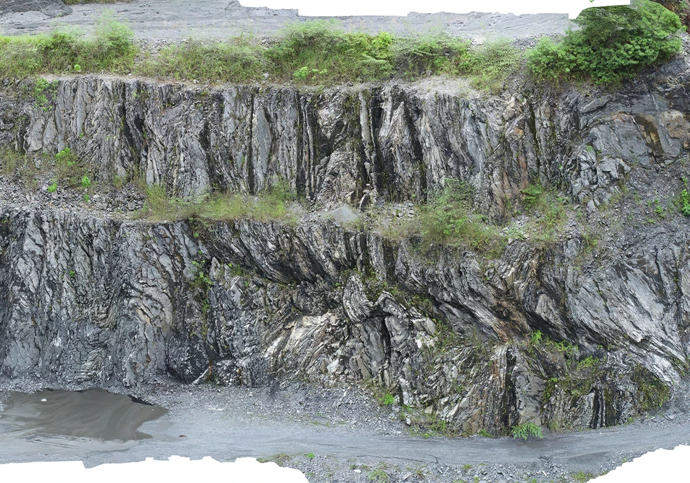
Lidar and aerial photography significantly enhance the efficiency and safety of operations in mines and quarries by:
Inventory and Stockpile Management:Precise volume calculations for material stockpiles.
Monitoring and Planning:Continuous mine/quarry operation assessment and future operation planning.
Pre-Drilling/Blasting Assessments:Accurate terrain and structure evaluations to guide safe drilling or blasting.
Road and Slope Monitoring: Ensuring road safety and stability of mine slopes.
Hazard Identification:Early detection of risks to mitigate potential accidents.
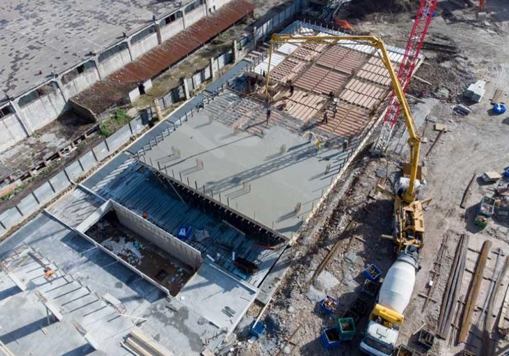
Construction and Infrastructure
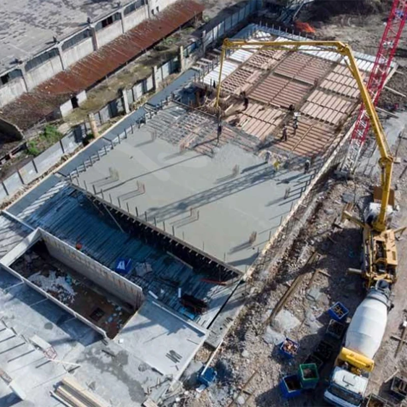
Drones equipped with Lidar and cameras provide significant advantages for construction projects by:
Volume Measurements: Efficiently calculating material quantities.
3D Site Models: Creating detailed 3D representations of construction sites.
Progress Tracking: Monitoring construction progress in real-time.
Site and Building Inspection: Conducting thorough inspections of structures and construction sites.
Environmental Monitoring: Assessing environmental impacts and compliance.
High-Resolution Monitoring: Providing detailed visual records.
Real-Time Site Inspection: On-demand inspection for faster decision-making.
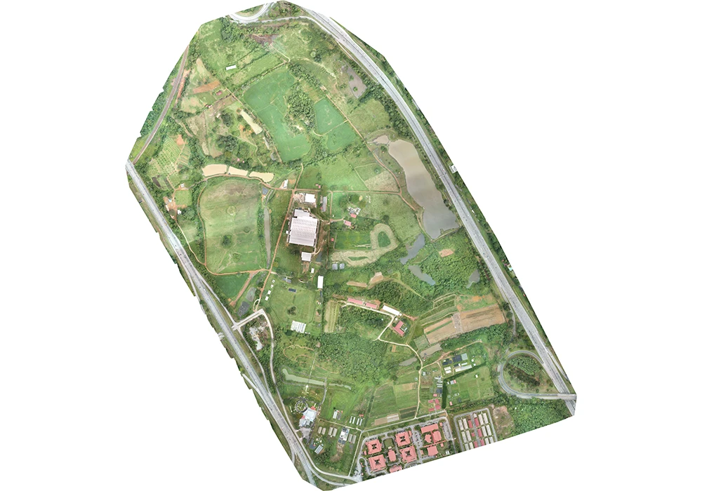
Aerial Mapping
Applications of aerial mapping with Lidar and orthophoto imagery include:
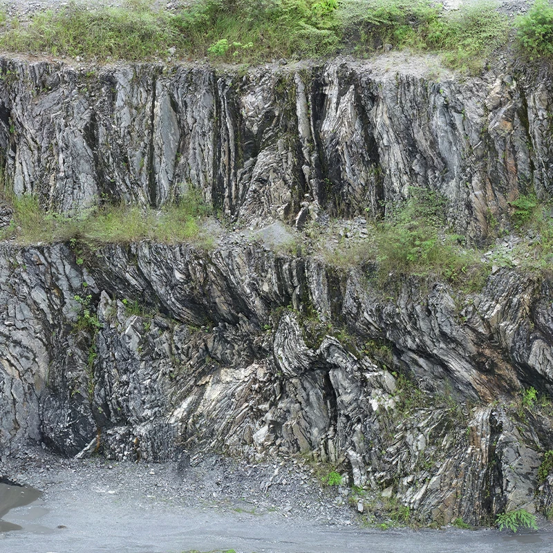
Geological and Terrain Mapping: Documenting geological formations and engineering geology.
Topographical and Geomorphological Analysis: Understanding surface features for planning and design.
Asset and Infrastructure Mapping: Monitoring existing infrastructure and assets.
Road and Buffer Zone Planning: Ensuring proper zoning and road design.
Geohazard Assessment: </b?Identifying hazards for forensic studies and risk mitigation.
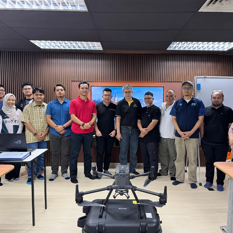
Training Programs
Providing training for drone pilots to ensure optimal use of drones and data collection technologies.
Data Conversion
Efficiently converting raw Lidar and orthophoto data into actionable digital formats:
Point Cloud Conversion: Transforming Lidar/orthophoto data into DEM (Digital Elevation Model), DSM (Digital Surface Model), DTM (Digital Terrain Model), and contour lines.
Aerial Photos to Digital Maps: Processing aerial images into accurate geographical and terrain maps.
Digital Geological Mapping: Digitizing hardcopy geological maps for integration into modern workflows.
Georeferenced Image Creation: Combining aerial photographs into georeferenced datasets for analysis.
Suppose you want to learn more about our services and associated costs. We kindly provide you with a detailed quotation, pricing, delivery terms, and other relevant information.